Website archive
You can access pages from the former Stenhouse and Carron Parish Church’s website on the Internet Archive Wayback Machine here:
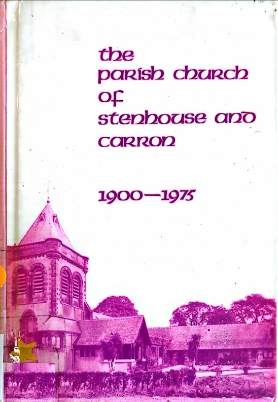
Stenhouse and Carron Parish Church History 1900 – 1975
Click on the image below to download a copy of ‘Stenhouse and Carron Parish Church History 1900 – 1975’:
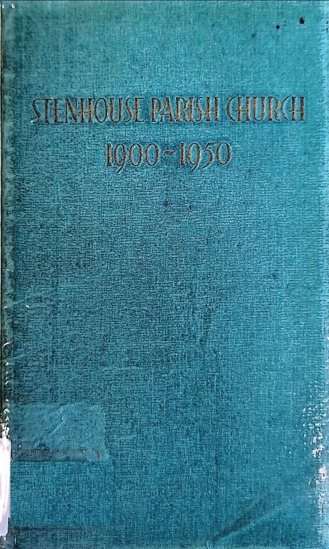
Stenhouse Parish Church History 1900-1950
Click on the image below to download a copy of ‘Stenhouse Parish Church History 1900-1950’:
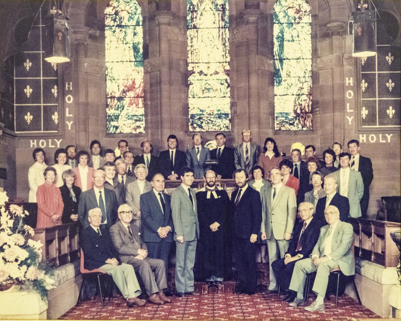
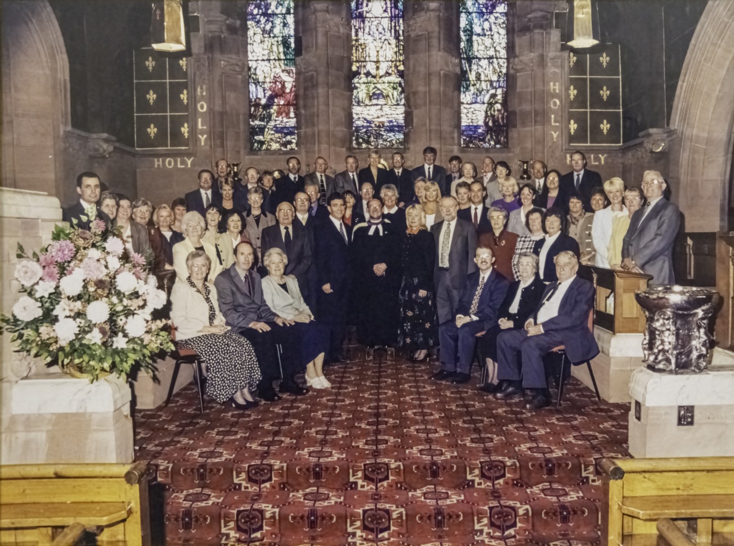
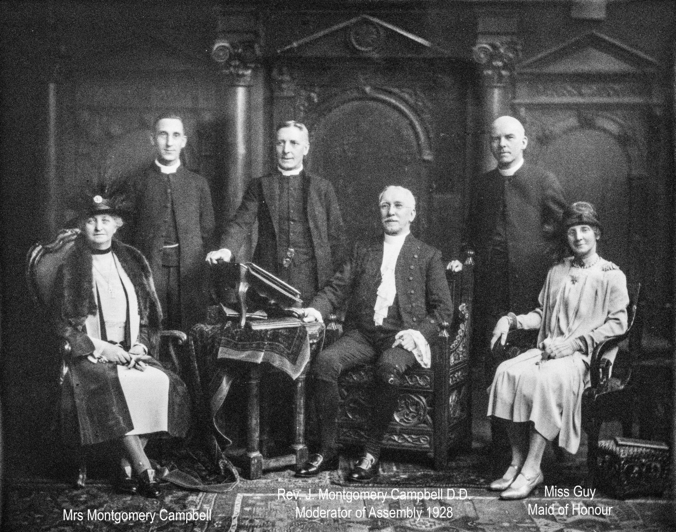
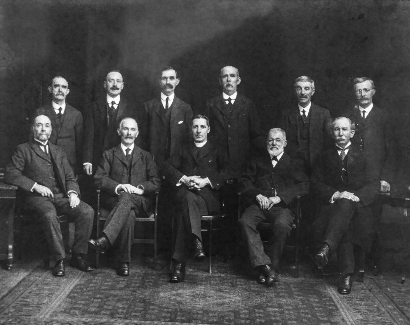
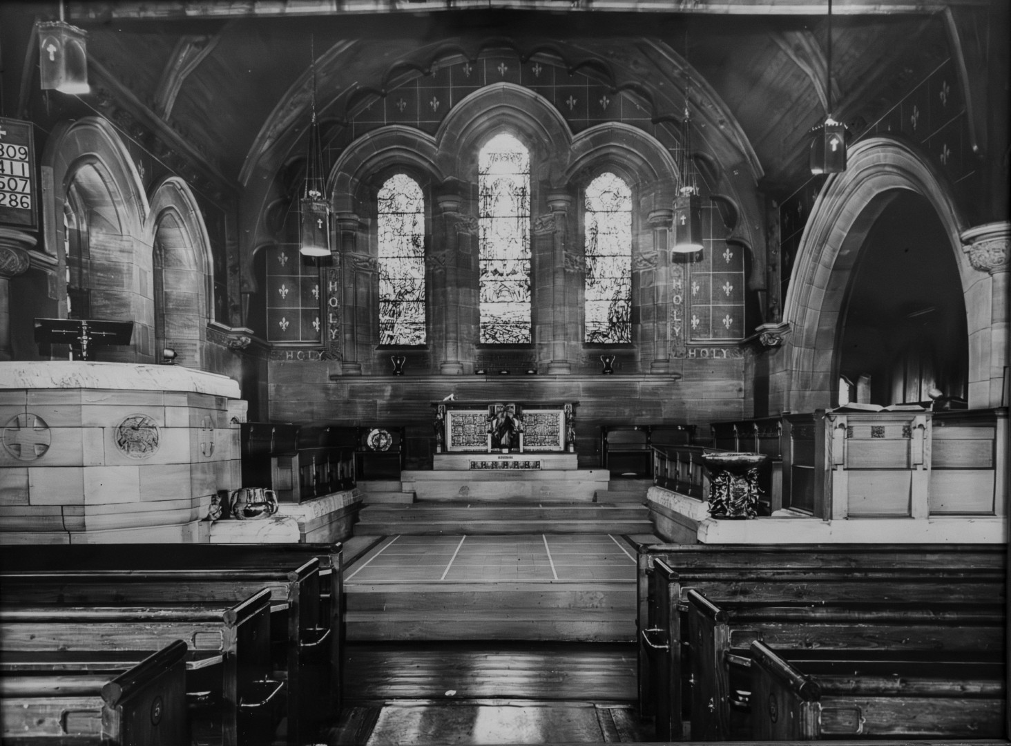
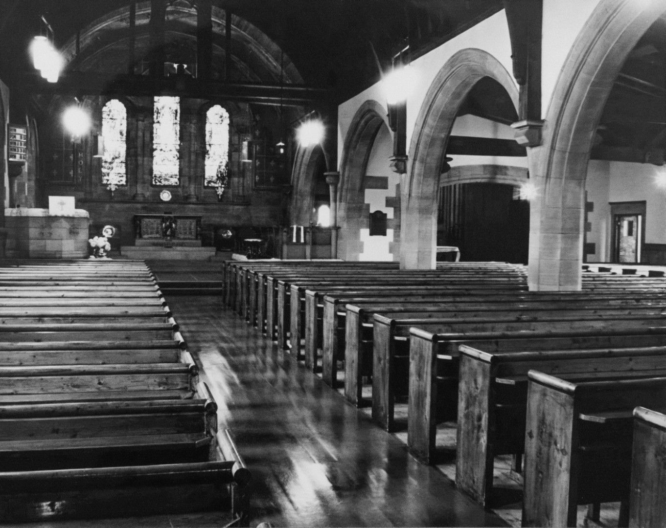
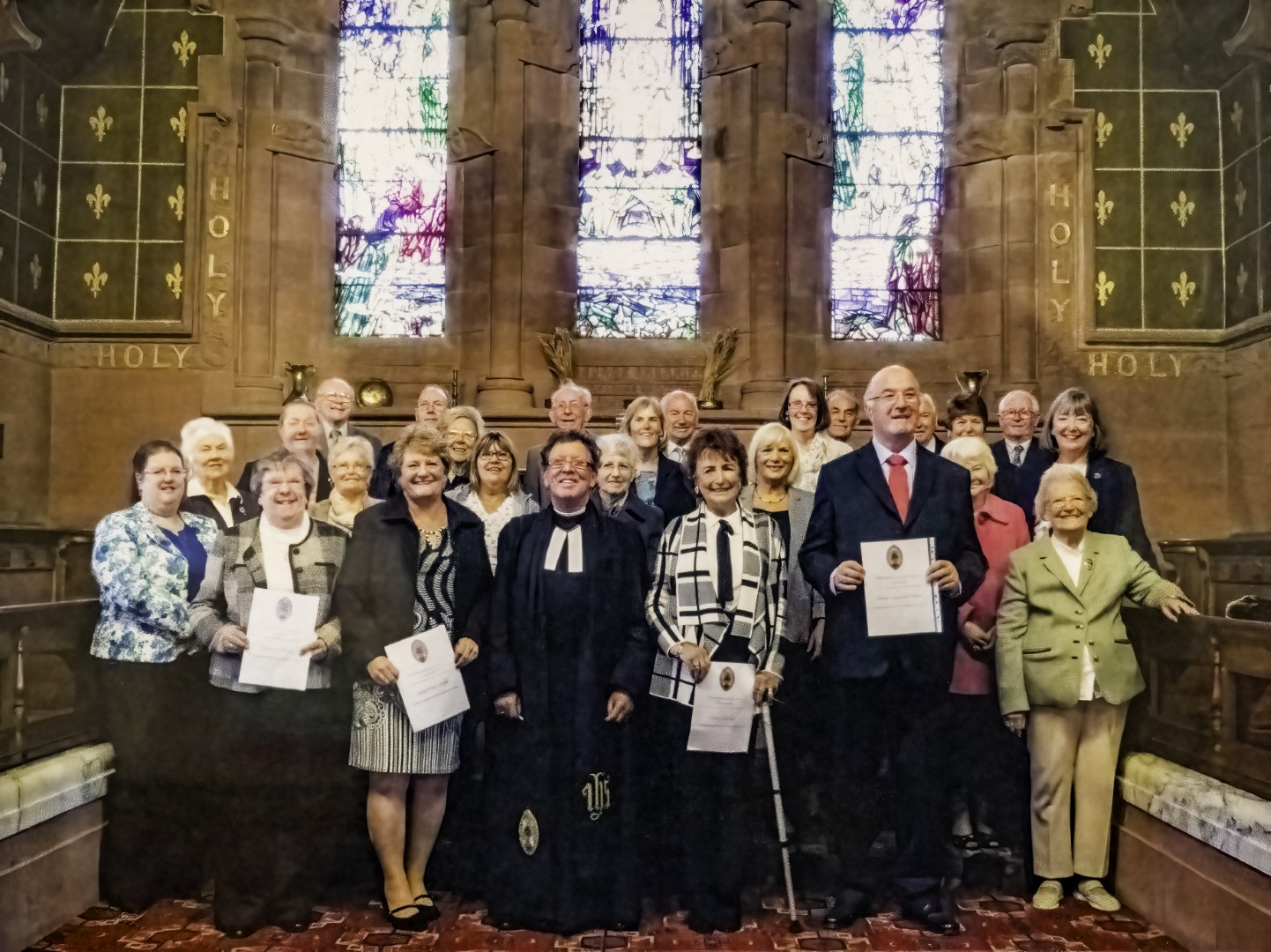
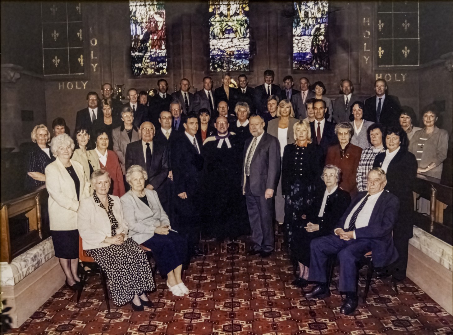
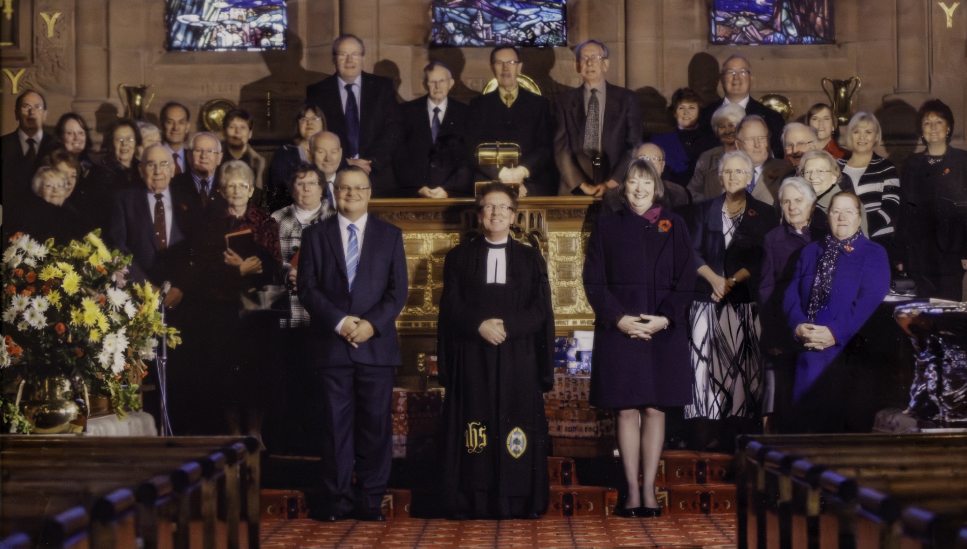
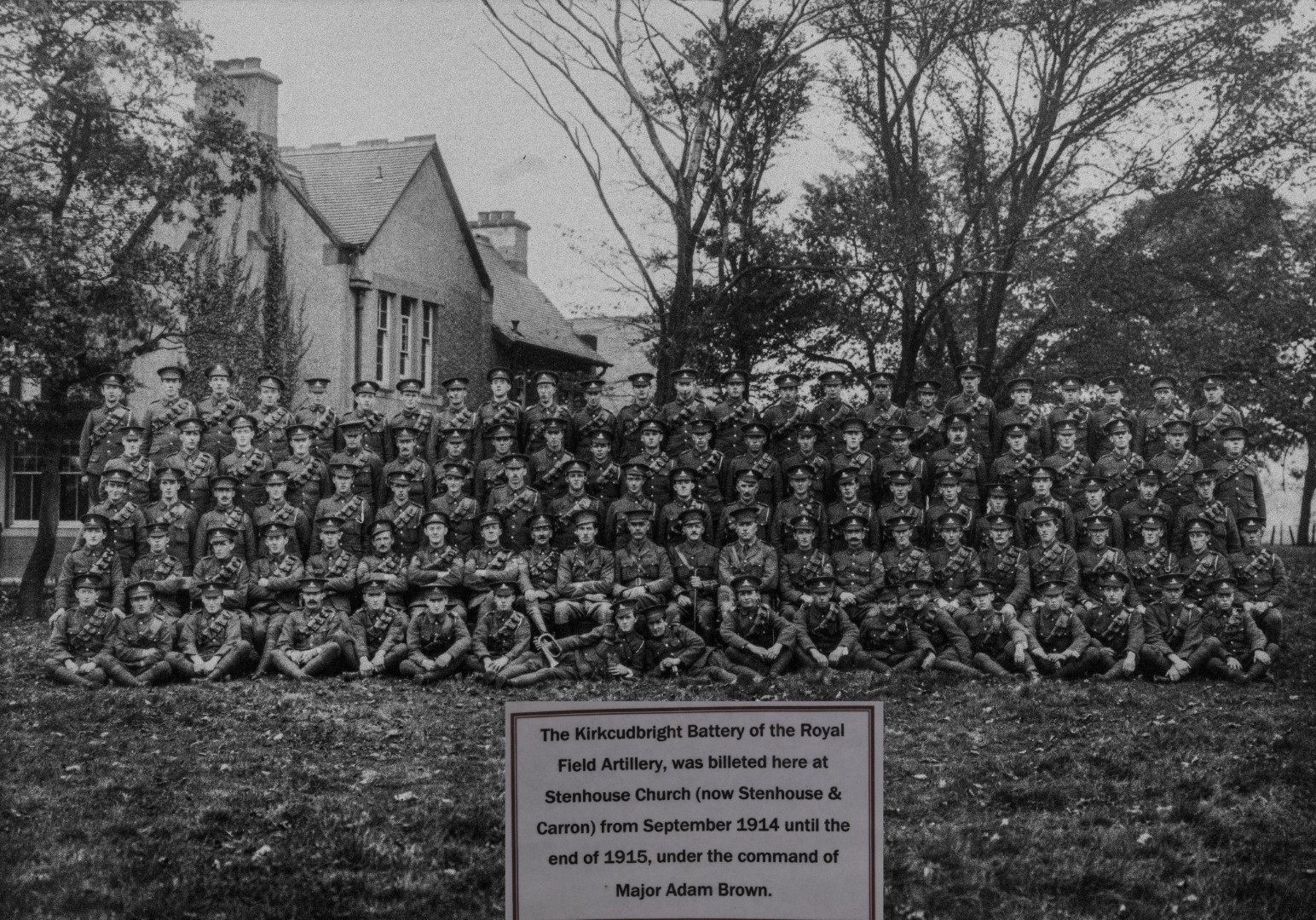
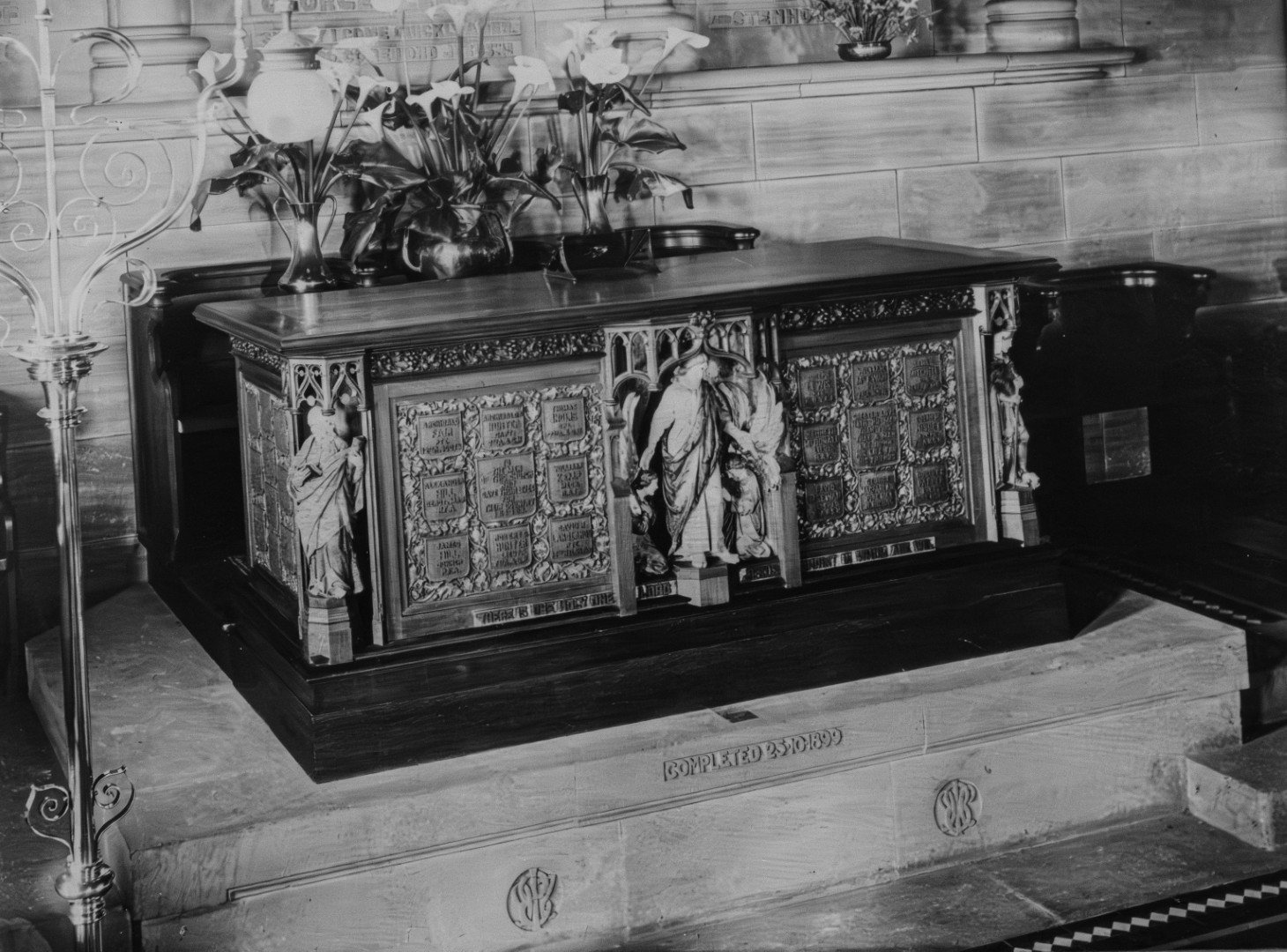
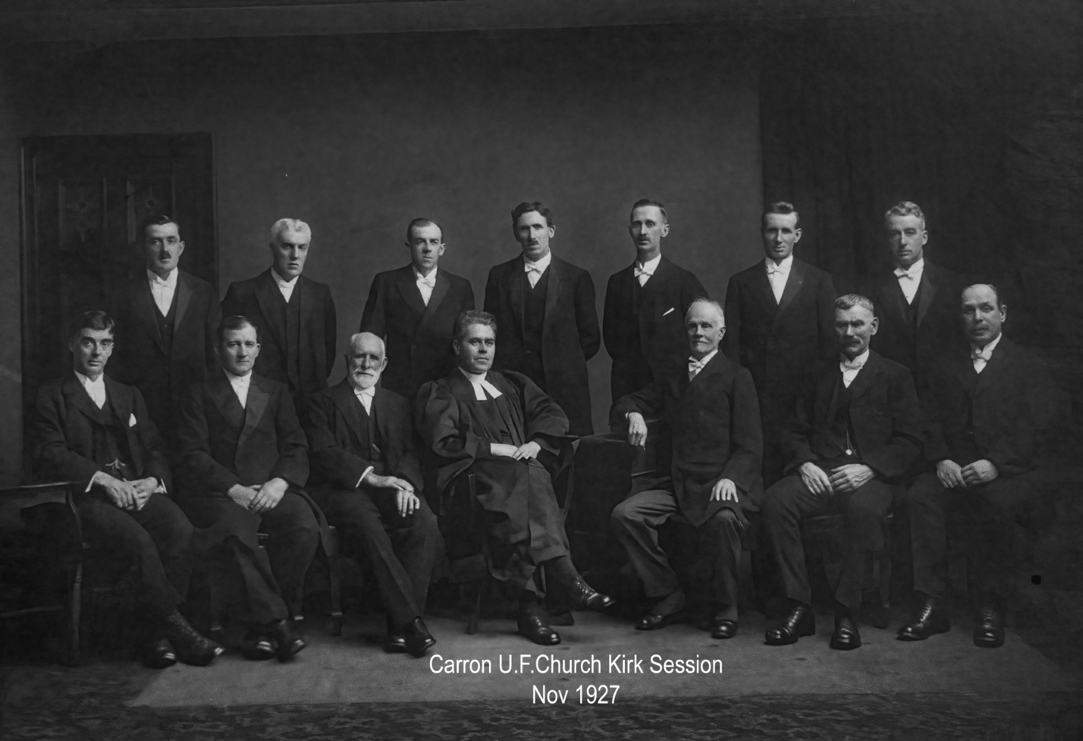
Historical photos
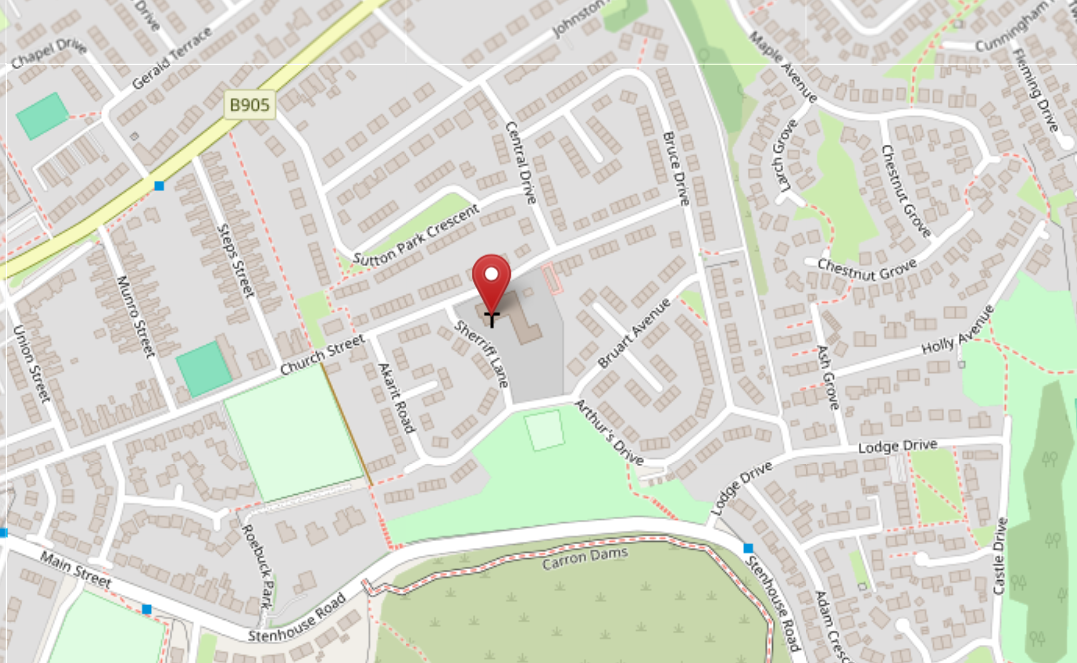
Maps
Location of former Stenhouse and Carron Parish Church of Scotland
The former Stenhouse and Carron Parish Church of Scotland was on the south side of Church Street Main Street, Stenhousemuir, Larbert, bounded on the west by Sherriff Lane. If you click on the map below a new window will open in OpenStreetMap from where you can explore the location in detail.
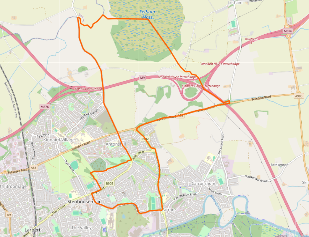
Area covered by the former Stenhouse and Carron Church of Scotland Parish
The former Stenhouse and Carron Church of Scotland Parish was bounded by the River Carron and Bellsdyke Road to the south, the Moss Road to the east, Letham Moss to the north, and New Carron Road to the west. If you click on the map below a new window will open in OpenHistoricalMap from where you can explore the former Parish area in detail.